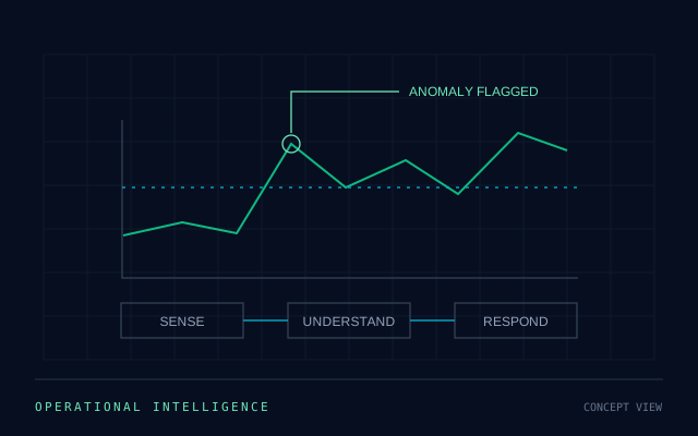
IoT Intelligence
Telemetry, connected assets, anomaly detection, and real-time operational response.
Open IoT PageCapabilities
Explore industrial IoT, defense systems, and satellite capabilities built around operational awareness and control.
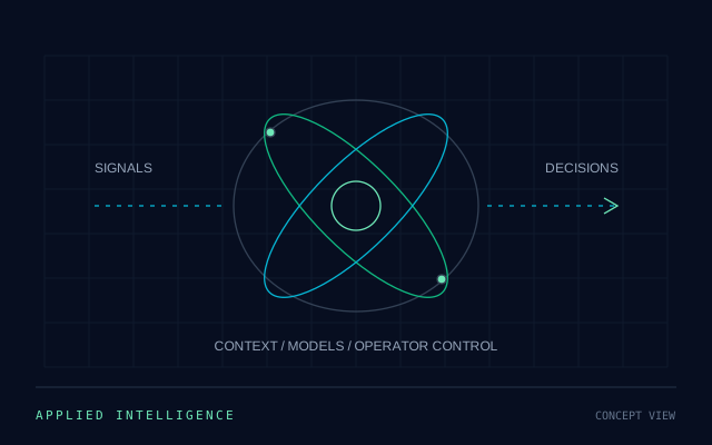
Capability Overview
Each capability area serves a different operating environment while relying on the same core engineering principles: high-assurance software, robust communications, and operator visibility.
Telemetry, connected assets, anomaly detection, and real-time operational response.
Open IoT Page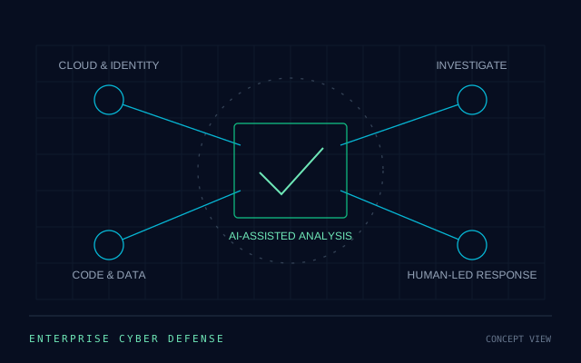
Secure autonomy, mission control, surveillance support, and command-link reliability.
Open Military Page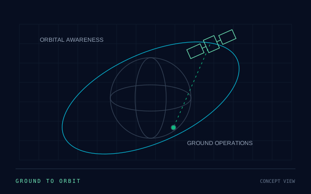
Mission software, earth observation workflows, and secure ground-segment operations.
Open Satellite PageCapability Model
These areas all depend on live data feeds, secure communications, operator control, and real-time decision support. That makes them stronger when delivered through one coordinated technical architecture.
IoT Intelligence
AstraSky AI's IoT capability turns field data into dashboards, alerts, maintenance actions, and response workflows that operators can use in real time.
Bring devices, gateways, and assets into one secure data layer.
Analyze live sensor signals with automated anomaly detection and trend analysis.
Move from alerts to operator tasks, maintenance actions, and dashboard visibility.
Military Drone Systems
This capability area is shaped around secure autonomy, navigation logic, payload integration, encrypted communications, and mission execution visibility.
Autonomous flight planning, obstacle avoidance, and mission execution logic.
Secure communication links, operator consoles, and mission coordination workflows.
Payload handling, mission analytics, and operational intelligence loops.
Satellite & Space Systems
AstraSky AI's satellite capability is built around mission dashboards, geospatial workflows, secure data handling, and operational coordination from ground to orbit.
Planning tools, control interfaces, and operator-centered mission views.
Imaging workflows, analytics layers, and decision-ready geospatial outputs.
Protected tasking, scheduling, data handling, and mission review environments.