Mission Software
Control-room dashboards, workflow orchestration, planning tools, and operator-ready interfaces.
Satellite & Space Systems
AstraSky AI is expanding into the space industry with satellite mission software, earth observation workflows, secure ground-segment platforms, and data operations designed to help space agencies and advanced operators across multiple countries.
Orbital Capabilities
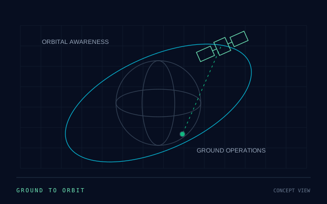
Our focus combines mission software, geospatial analytics, secure operations, and integration layers that help operators move from isolated tools to coordinated space capability.
Control-room dashboards, workflow orchestration, planning tools, and operator-ready interfaces.
Image workflows, geospatial intelligence, event detection, and decision-ready reporting.
Secure operational platforms for data downlink, tasking, scheduling, and mission review.
Bring orbital data into critical systems, infrastructure dashboards, and command workflows.
Program Operations
AstraSky AI is positioning to support operators across multiple countries with satellite program planning, partner coordination, operational software, and the data workflows needed for resilient operational outcomes.
Program support for observation, analytics, mission dashboards, and delivery workflows.
Space-enabled monitoring for disaster response, communications continuity, and infrastructure protection.
Operational environments that keep mission data organized, secure, auditable, and decision-ready.
Shared mission visibility across operators, analysts, and response teams.
Use Cases
Support monitoring programs with imaging workflows, analytics, and operational dashboards.
Help maintain resilient communication capability for remote operations and strategic sites.
Accelerate post-event assessment, situational awareness, and recovery planning with orbital data.
Improve visibility across coastlines, trade routes, and critical corridors through coordinated monitoring.
Track energy corridors, logistics networks, pipelines, and critical assets with broader geographic reach.
Use satellite data for climate, land-use, agriculture, and resource-management decisions.
Mission Workflow
Align program goals, country-specific priorities, partners, data needs, and operating constraints.
Shape the right mix of mission software, analytics layers, interfaces, and operational workflows.
Connect orbital data, ground systems, and user teams into one coordinated operating environment.
Turn mission data into practical intelligence for planners, operators, analysts, and leadership teams.
Our Presence
Earth observation mission software and ground segment engineering are developed in India, with international hubs in Sharjah, Sheridan, and Abbotsford providing cloud architecture and enterprise IT solutions.
AstraSky AI Tech Private Limited
Defense & AI Systems
Sovereign Defense Systems, Aerospace & Defense AI
AstraSky AI FZE
IT & Software Services
Enterprise IT & Commercial Software
AstraSky AI LLC
IT & Software Services
Enterprise IT & Cloud Software
AstraSkyTech Inc.
IT & Software Services
Software Design & IT Engineering